|
ASIA
Persian Empire 500 BC
Oriental Empires 600
Medieval Trade Routes
Mongol Dominions 12th to 15th Centuries
Mongolian Empire in the 13th Century
India Political Boundaries 18th Century
European and Japanese Dominions 1801
Countries and Territories of Asia 1808
Persia and Afghan Area 1856
Island of Socotra Area 1886
Countries and Territories of Asia 1892
The Caucasus and Central Asia
Area Map 20th Century
Topographical Map of Asia 20th Century
Commonwealth of Central Asian States,
Asia Topographical Map 20th Century
ASIA MINOR
Asia Minor Under Greeks and Romans
Ancient World Reference Map
Constantinople Walls and Bridges 4th to 7t
Centuries
Ottoman Empire, Political 1481-1683
16th Century Ottoman Empire
Ottoman Empire at Death of Suliman
Dismemberment of Ottoman Empire,
Constantinople, City Map
Antioch Area 1912
BALKANS
Changes in Turkey and Europe 1856
Bulgaria After Conference Constantinople
Balkan States 1899
Sarajevo 1905
City of Belgrade 1905
City of Sarajevo
Balkan Territories 1914
Distribution of Races in the Balkans*
Occupations of Balkans in French 1914
Balkan States 1917
Distribution of Races in the Balkans 1923
Macedonian Territories in French
Contested Region of Balkans WWI
Balkan Belligerants (1913)
Conference of Constantinople (1876)
Boundary Maps Following Treaties
Dialects of Macedonia
CHINA
Grand Monastery of Tashi Lhunpo
Plan Temple of Confucius
Cho Khang Grand Temple of Buddha
Peking 1875
Province
of Simahara
Formosa 1896
Blue River 1912
Moukden 1912
Nankin 1912
Peking 1912
Peking Forbidden City
North China 1912
Middle Course of Blue River
1912
Chang Hai Area 1912
Chih Fou 1912
City of Hong Kong
Military Japanese Plan 1941
Military Ichigo Plan 1944
Military Salween Campaign 1944
Military Chihchiang Campaign 1945
Hong Kong Political 1945
Port Arthur
Province of Chi Li
Rangoon
Shang Hai 1933
Shang Hai Area
Southern Manchuria
Tai Shan
Taiwan
Tai Yuan
Town and Fort of Shigatse
Tien Chin
Chinese Russian Border 20th Century
HOLY LAND
Ancient Jerusalem Drawing of
City Wall
Jerusalem 1883
Jerusalem 1912
Mt. Carmel Area Map
Bethlehem, detail Churches of Nativity
Mt. Sinai
Nazareth
Hebron
Jaffa and Surrounding Country Side
Palestine
Sidon
Tyre
Golan Height Settlement 1989
Topographical Map of Middle East 1990
Gaza Strip Settlement 1999
Red Sea Area Map 20th Century
Area Map of Middle East 20th Century
Area Map of Israel 20th Century
Area Map of Ancient Jerusalem
View of Middle East from Space
INDIA
India in the Time of Clive
India 1700 to 1792
Island of Bombay 1909
Ceylon 1914
ISLAM
The Growth of Islam from 632-656
The Muslim Empire in 750
Arabic Ascendancy Caliph Walid I
Beruit 1912
Close Up of Beirut
Bokhara, Topographical 1838
Bokhara N, Topographical 1838
Bokhara S, Topographical 1838
Damascus 1912
View of the Middle East from space
Saudi Arabia
JAPAN
Japan 1855, Political, and Topographical
Yedo 1879
Japan 1917, Political
Tokyo East
Tokyo West
Yedo
Military Map of Japan and Russia
SOUTH EAST ASIA
City, Fort Manila 1851
New Zealand North 1913
New Zealand South 1913
Philippines WWII 1941
Philippines Bataan WWII 1941
Pacific area WWII 1942
Galvanic Operational Area WWII 1943
New Guinea WWII 1942-1944
New Guinea WWII 1943-1944
Philippines WWII 1944-1945
Samoa islands, Topographical
Santorin Island, Topographical
Southwest & Central Pacific Dividing Line
Vietnam Administrative Divisions, Political
West Tasmania, Topographical
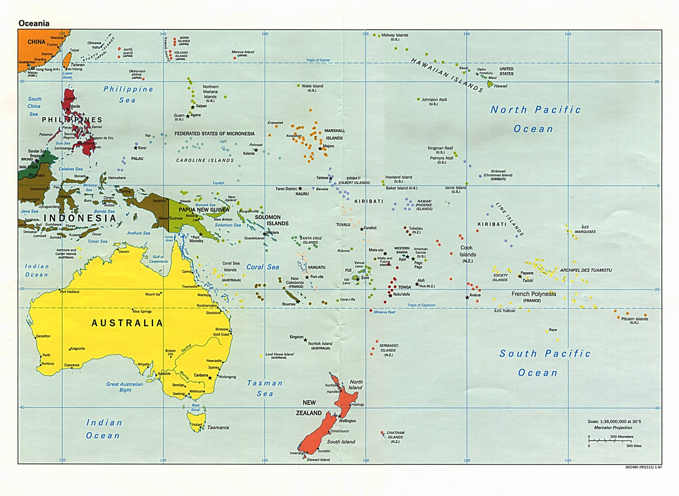
SOUTH PACIFIC
Fiji Islands, Political,Topographical 1889
Samoa, Caroline, Hawaii islands, Political
Island of Wake
Area Map of Islands
Guadal Canal
Guadal Canal
|

